
How low snowfall is impacting Bozeman
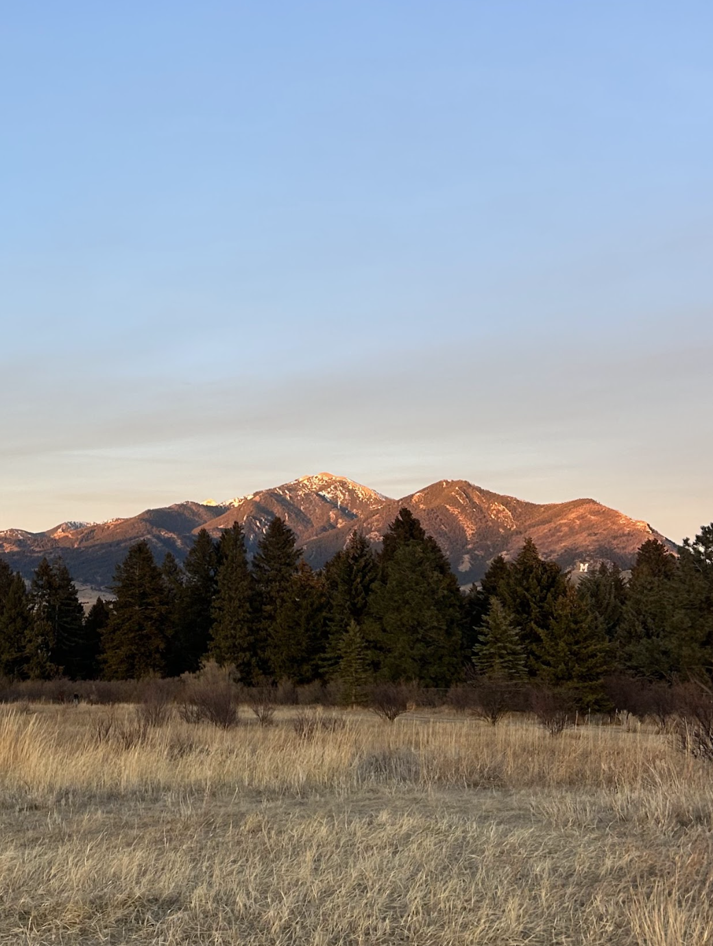
If you recently went outside in your winter jacket, you might have just about had a heat stroke. While the warmth — and lack of snowfall — in Bozeman may be concerning, as of now, the snowpack is reportedly stable.
Many Bozemanites are worried about the impact of low snowfall on recreation. There has been less snow in areas of the Bridgers than in some previous years, with recent data from the National Resources and Conservation Service website showing a snow depth of 12 inches at Sacajawea Peak this year, compared to 28 inches in 2025.
Although there was enough snow for Bridger Bowl to open on its projected date — Dec. 12 — the ski area only had 73 percent of last year’s visitation as of Jan. 27, according to Marketing Director Erin O’Connor.
To minimize the impact of low snowfall for visitors, Bridger has been making snow. In mid-January, the resort made snow for 24 hours a day, 10 days straight, O’Connor said.
“I mean, low snow seems to be getting more common over the last 10 years.” Bridger’s Snow Safety Director Richard Griffen said.
According to Griffen, the snow in the Bozeman area has had a higher moisture content — also known as snow water equivalent (SWE) — in recent years. This results in a denser snow which sticks well and creates a good base, but isn’t the drier cold smoke powder Bridger is known for.
Griffen, who has worked at the ski area for 31 seasons and currently leads the avalanche control and mitigation program, said this has been one of the lowest snow winters he’s seen.
Although there is less snow than normal, the weather has created a fairly stable snowpack, according to Dave Zinn, a forecaster for the Gallatin National Forest Avalanche Center (GNFAC).
“We had a long, extended period of really warm weather in December, and that was actually helpful for the snowpack in terms of stability,” Zinn said. “It added some water and melted the layers into the snowpack, and it strengthened the lower snowpack, so that was really beneficial in the long run.”
The GNFAC monitors all of southwest Montana and parts of Idaho. According to Zinn, southwest Montana received above-average precipitation in December, but in town it fell as rain, while in the mountains it fell as snow. This means that in higher elevation areas like Cooke City, the snowpack is well above average.
According to Zinn, although the snowpack has been strong up until now, it could become unstable due to the cold temperatures and low moisture this past month.
“In January, it got dry. There were clear days, clear nights. The nights were cold and during periods like that, the surface of the snow transforms and it weakens,” Zinn said. “The stage is set right now for the [avalanche] danger to go up really significantly the next time we get snow.”
In addition, while snow is key for wintertime recreation, it is also Bozeman’s main source of water. The City gets about 80 percent of its water from snowmelt off the Gallatin Range, according to the City of Bozeman website.
Snow hydrologist and assistant professor for MSU’s Earth Science department Marianne Cowherd said that, despite its negative impact on winter sports, the low snowfall is not threatening our water supply.
“From the personal recreational standpoint, I want the snow to be fluffy and I want it to be deep and snow frequently and have a stable snowpack so I can go ski on it. From that perspective, it seems like there hasn’t been that much, especially if we look around town,” Cowherd said. “As a hydrologist, I’m actually seeing something quite different, which is that we’re doing okay.”
The monitoring stations measuring the SWE in the Bozeman area are reporting levels that are normal for this time of year, according to Cowherd. These stations are located at slightly higher elevations near the middle of the mountains.
In many areas across the Western U.S. — including Washington, Oregon and Utah — the SWE is below normal, but not in Montana, Wyoming or Idaho, according to Cowherd.
“The weird thing we’re seeing in Bozeman isn’t necessarily that there’s no snow anywhere,” Cowherd said. “It’s that the elevational gradient is really different. And this year, for whatever reason, we have a normal amount of snow at the Shower Falls station and nothing in town.”
To learn more about precipitation in Montana and across the Western U.S., visit https://nwcc-apps.sc.egov.usda.gov/imap.

Comments ()