
Bureau of Land Management aiming to burn 1,300 acres near Clark Canyon Reservoir
Bureau of Land Management firefighters are shifting their prescribed fire efforts south after a few weeks of successful burn operations in the East Pioneer Mountains.
Fire officials announced that operations will shift into three units located in the Red Rock River watershed near Clark Canyon Reservoir this week.
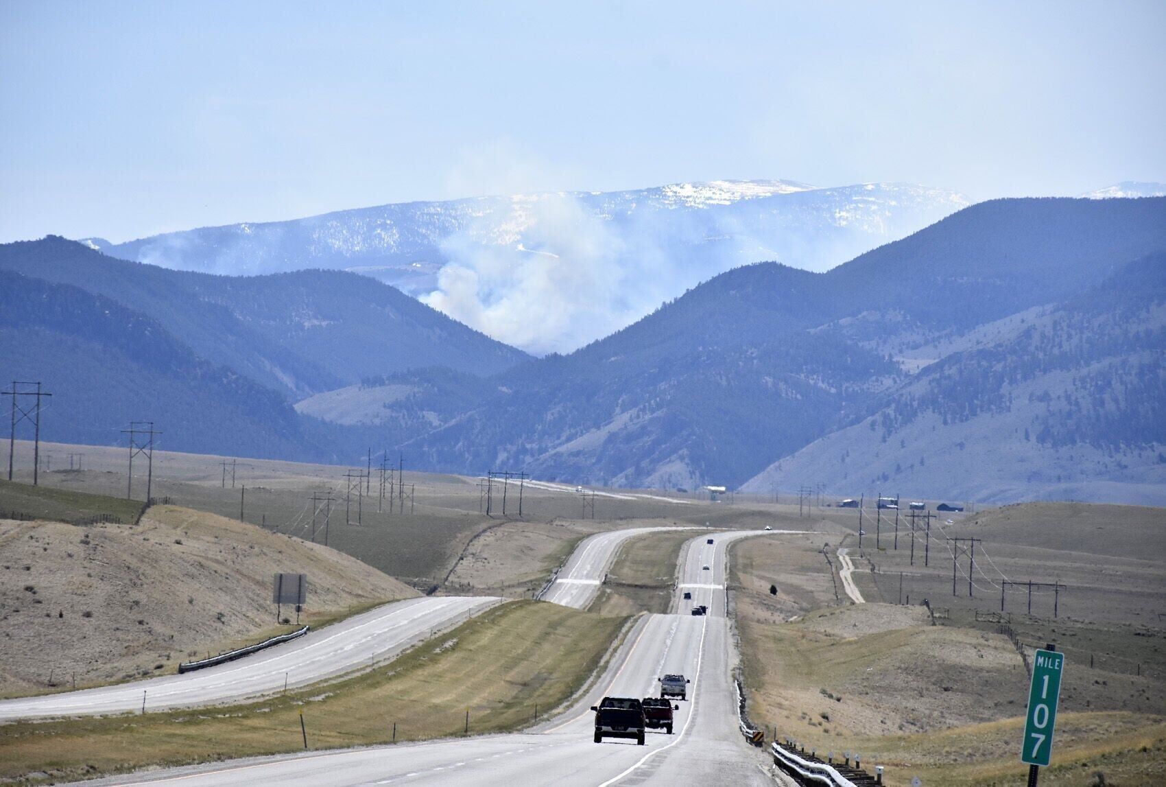
If weather conditions allow, the plan is to burn about 1,300 acres in the area. Smoke may be visible from Interstate 15 near the Clark Canyon area.
Firefighters have already burned off around 2,600 acres in the Melrose area of the Big Hole River corridor, Rock/Cherry, and Cherry/Trapper units. Fire officials said they have met all burn objectives and are finishing mop-up in those areas.
“Green vegetation is already emerging across the treated area,” said Jonathan Clark, a Western Montana District wildland firefighter. “These treatments are benefitting wildlife habitat, rangeland productivity, recreational opportunities, and overall public safety.”
BLM is coordinating with the U.S. Wildland Fire Service, U.S. Forest Service and the Montana Department of Natural Resources and Conservation on the fires.
For more information about the planned prescribed burns, contact the BLM Dillon Field Office at 406-682-4082.



Comments ()