
Kootenai National Forest map shows storm-blocked roads and trails
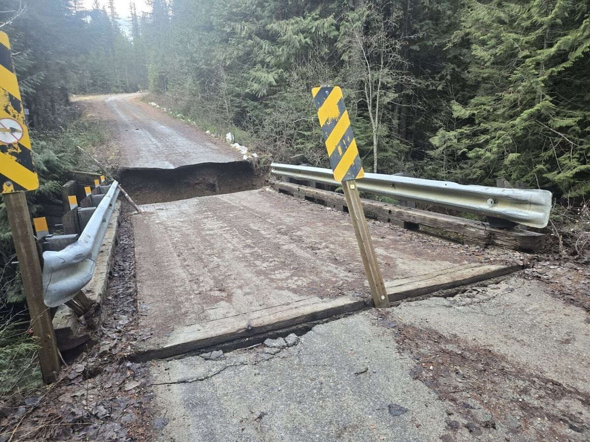
LIBBY, Mont. — The Kootenai National Forest announced a new viewer map showing inaccessible roads and trails across the forest and the progress of road and trail clearing.
The update said cleanup efforts continued across the forest on road and trail access. It advised people to use caution while recreating because crews were still working to reach all areas.
Some areas remained heavily impacted by wind and flood events. It said people should be aware of washouts, road slumping, downed trees and debris on roads.
Forest Service personnel worked with other agencies including Lincoln County to request emergency funding and develop repair plans.
Volunteer efforts were underway across the forest. It asked volunteers to submit accomplishments and other road and trail clearing updates to SM.FS.knfcontactus@usda.gov.



Comments ()