
Montana Highway Patrol says drones are speeding crash scene work
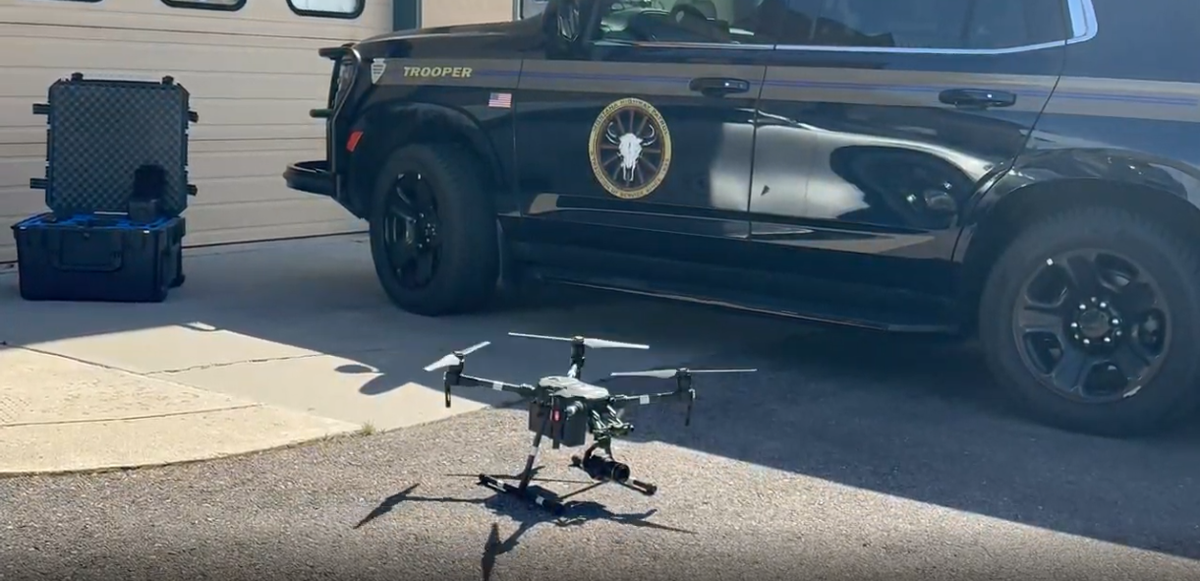
MONTANA — Montana Highway Patrol said drones had become a key tool in some of its most serious crash investigations.
The agency said the aircraft helped troopers document scenes from the air instead of relying only on work done on the ground. Troopers explained that the technology helped them map crash sites, build detailed 3D reconstructions and spend less time in active roadways.
Sergeant Philip Smart said the agency had used drones in investigations for about eight years. He explained that newer models kept improving what investigators could see and document.
A closer look at the process showed how the agency used overhead images to build out a scene after a crash. Troopers said that approach also helped reduce how long highways needed to stay closed.
“So now we can keep the road open, people can drive through and the drone is flying up there, takes pictures when it’s clear, moves along, takes another picture, just keeps taking pictures,” Smart said. “Then we have some software that knits the photographs, the photos together in what we call photogrammetry. And we can use that to have a three-dimensional scale diagram. So, we can look at how things went up and down hills, how far they went, and do a lot of math and reconstruction from that point,” he said.
Troopers said the change had also affected how quickly they could clear a scene. Before drones, investigators had to walk through crash sites to gather measurements, which took longer and brought them closer to traffic.
The agency also addressed what people might think when they see a drone above a crash scene. Troopers said the purpose was to document what happened on the roadway and not to watch private property.
Smart also said the technology was still developing. He said the next step involved building three-dimensional environments in real time while drones were still flying, giving investigators more detail before leaving the scene.



Comments ()